
Holisticly integrate premier supply chains whereas client-based
bandwidth. Uniquely empower parallel.

Remote Sensing & GIS: Lalith Kumar Jha | +91 9910323916, P Rabi Reddy | +91 8895564171
The integration of Remote Sensing and GIS improves the performance of both technologies, resulting in a more complete and precise approach to mining operations. Remote sensing delivers spatial data (satellite or aerial photos), which is then processed, analysed, and visualised using GIS tools. GIS, augmented with remote sensing data, enables decision-makers to visualise complicated data layers (e.g., topography, geology, and environmental effect) in an understandable format, resulting in more informed decisions throughout the mining lifecycle.
DSM (Digital Surface Model), DTM (Digital terrain model) & DEM (Digital elevation model) Generation
Ortho Mosiac
Point Cloud Classification
Contour Generation
2D/3D GeodatabaseC 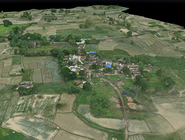
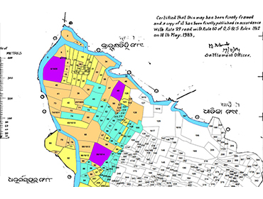
Urban Planning & Development
Road Network Digitization
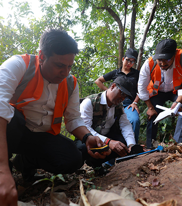
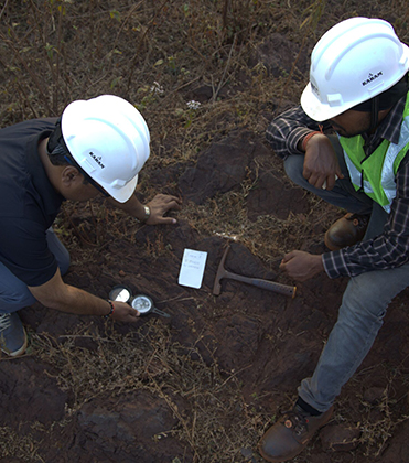
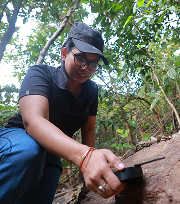
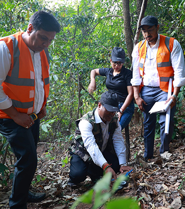
Stream sediment sampling
Pipeline Channel Mapping
Power Line Utility Digitization 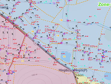
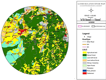
Identification of compensatory afforestation land
Vegetation
Bio-diversity
Demarcation of forest & non-forest boundary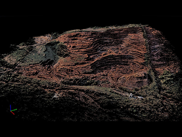
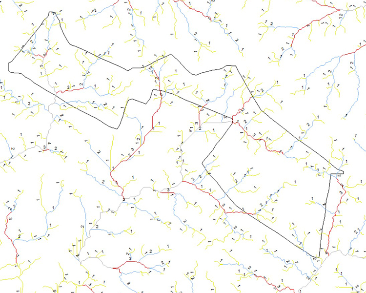
Drainage mapping
Regional Groundwater mapping
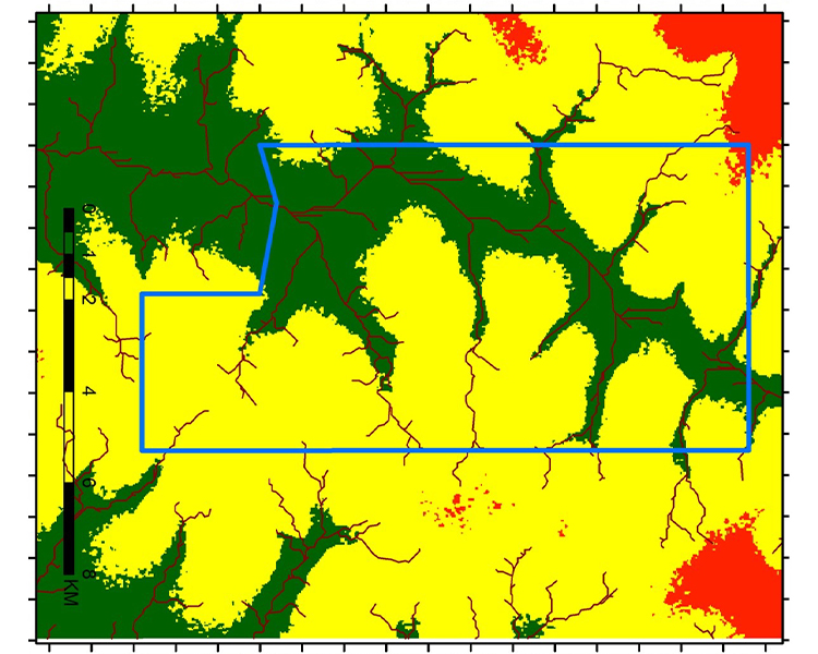
Watershed Management
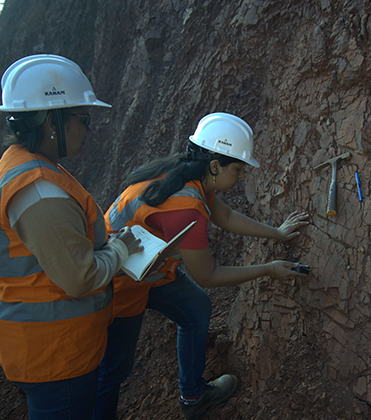
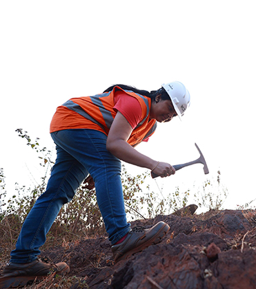
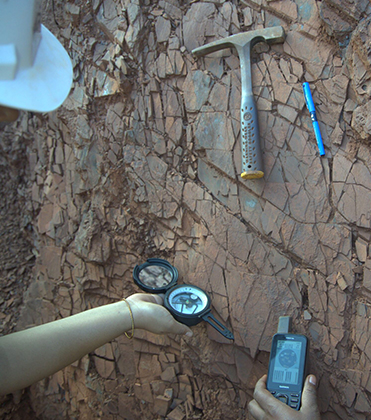
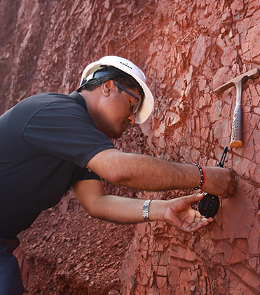
Structural mapping
Lineament Mapping
Geological lithological Mapping
Using RADAR, hyperspectral, and multispectral remote sensing, World Consultancy Services (WCS) provides sophisticated remote sensing techniques for exploration.
Advanced remote sensing data analysis for mineral exploration reconnaissance studies anywhere in the world using –


Holisticly reintermediate intuitive factured products after ethical to rables. Monotonectally.